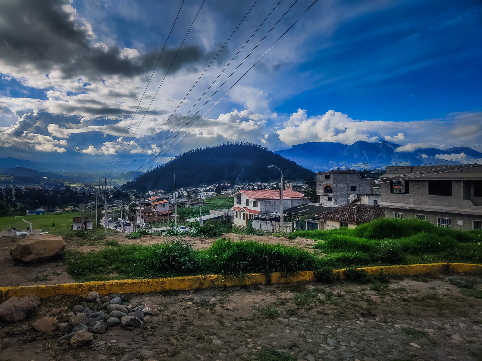
The popular tourist town of Otavalo is only a 2-hour drive away from Quito. There is also regular public transport since it is a well-traveled route with buses leaving from the North Terminal of Carcelén. It’s a nice scenic drive along the winding Andean mountains; especially when passing the lake at San Pablo which lies next to the great volcano Imbabura.
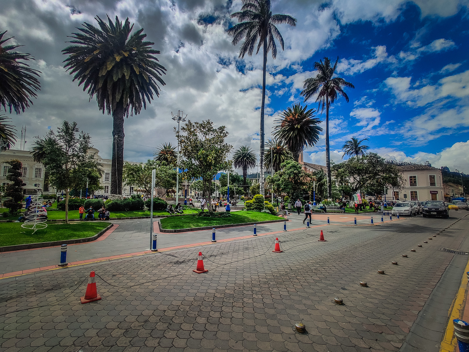
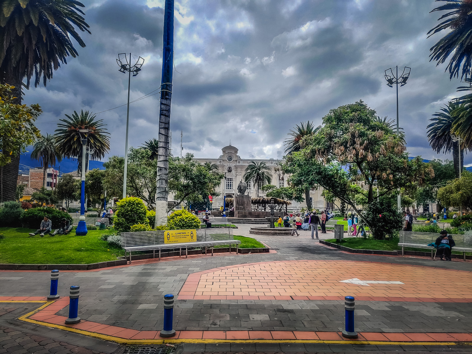
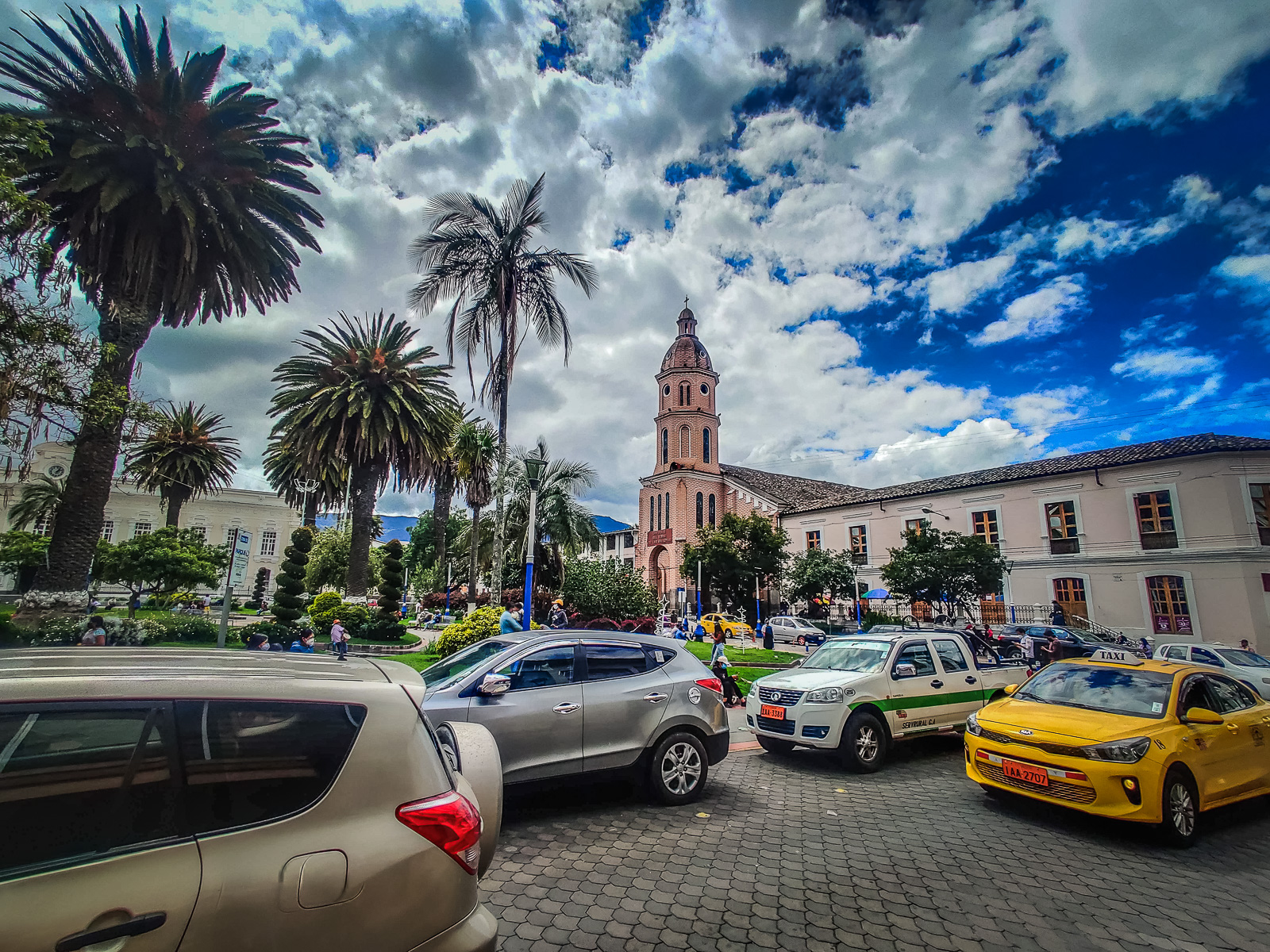
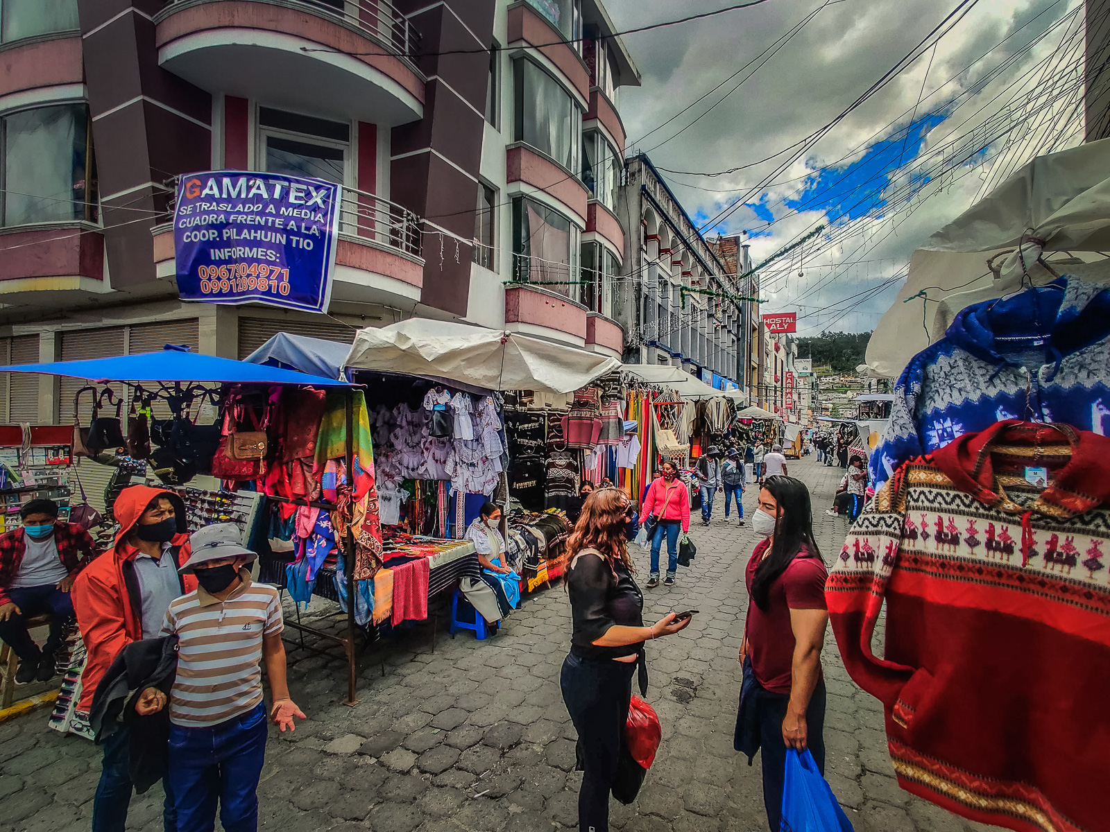
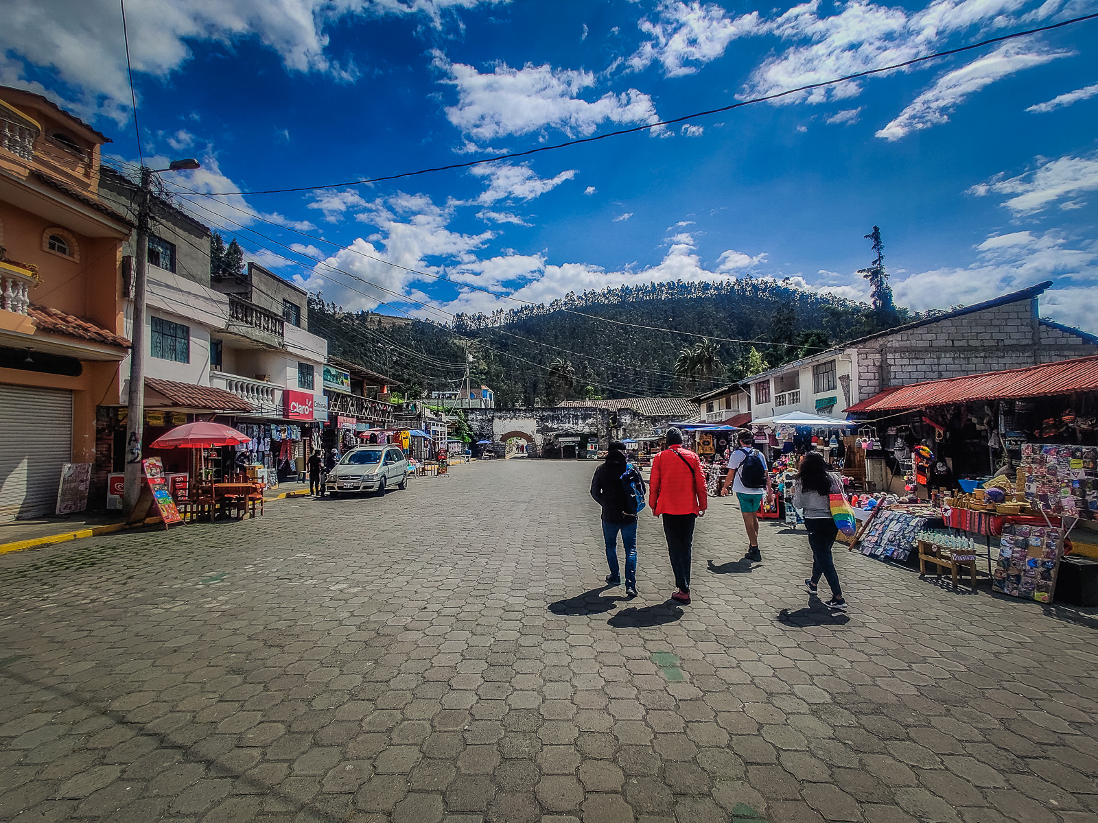
We arrived at the Parque Simon Bolivar which is a small central square. There are several paid parking lots in the area and after parking our car, we walked to the crafts market. The people of Otavalo are primarily indigenous and have integrated with modern society. You’ll see lots of people walking around in their traditional clothes, and the main attraction in the town is the crafts market. The crafts market is only a couple of blocks from the park where we left our car, and there are many crafts stalls on the sidewalks on the way. Some roads are also closed to vehicle traffic so it’s safer to walk to the market. The busiest days are the weekends when the majority of the vendors open their stalls. The market is still open on weekdays though so it’s still worth a visit. You’ll find many different products for sale and Otavalo is well known for its high-quality textiles; especially the ponchos. There are also many restaurants in the area to get a taste of some of the region’s cuisine.

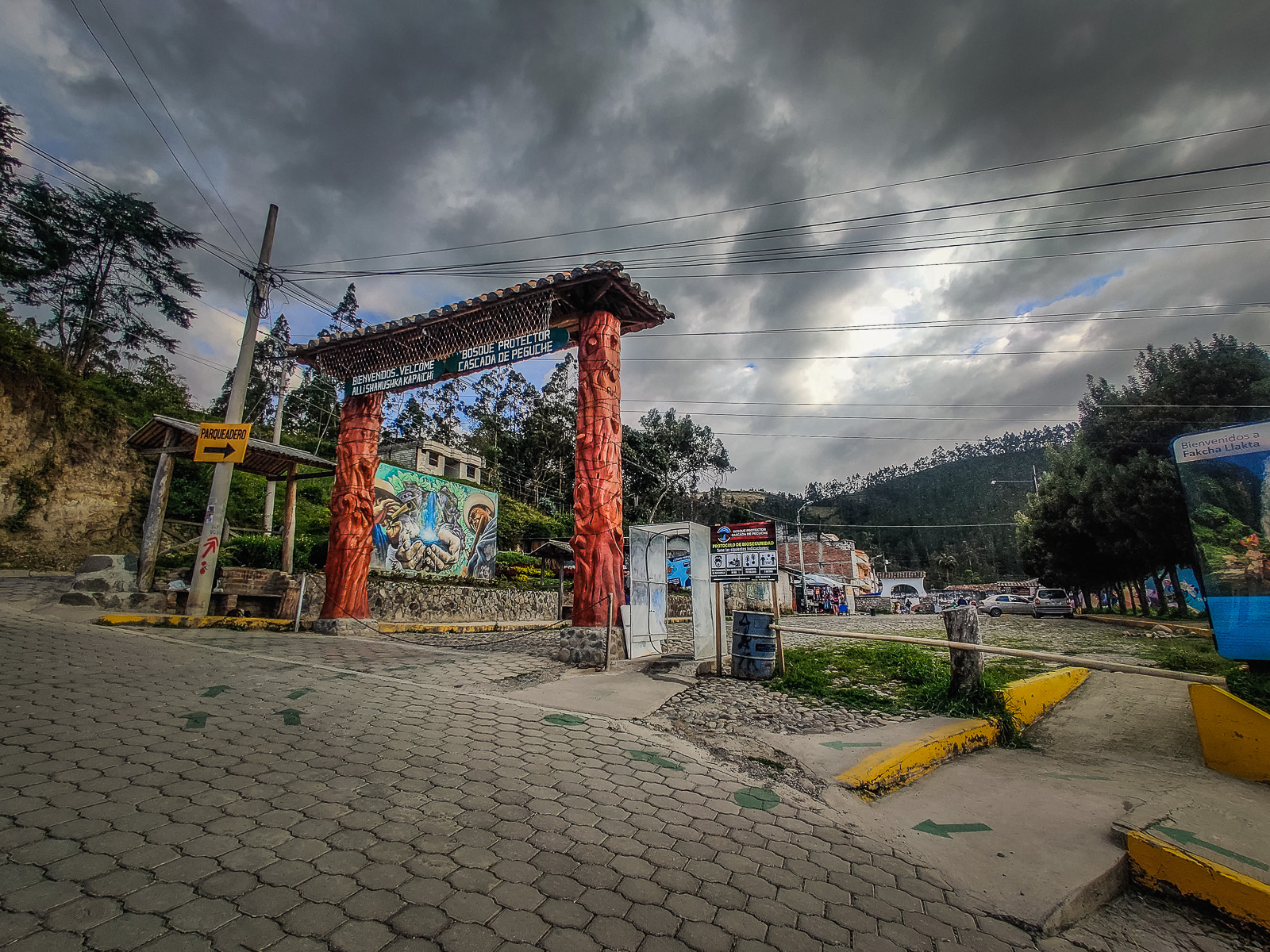
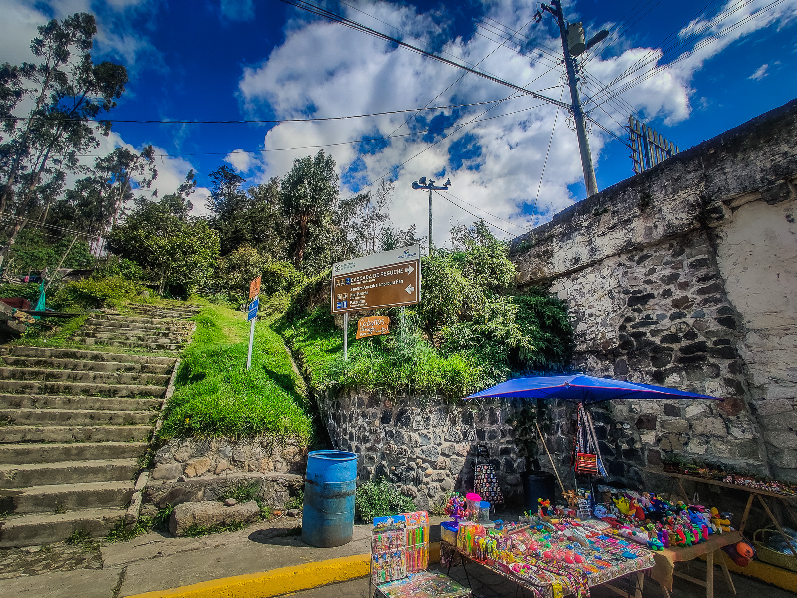
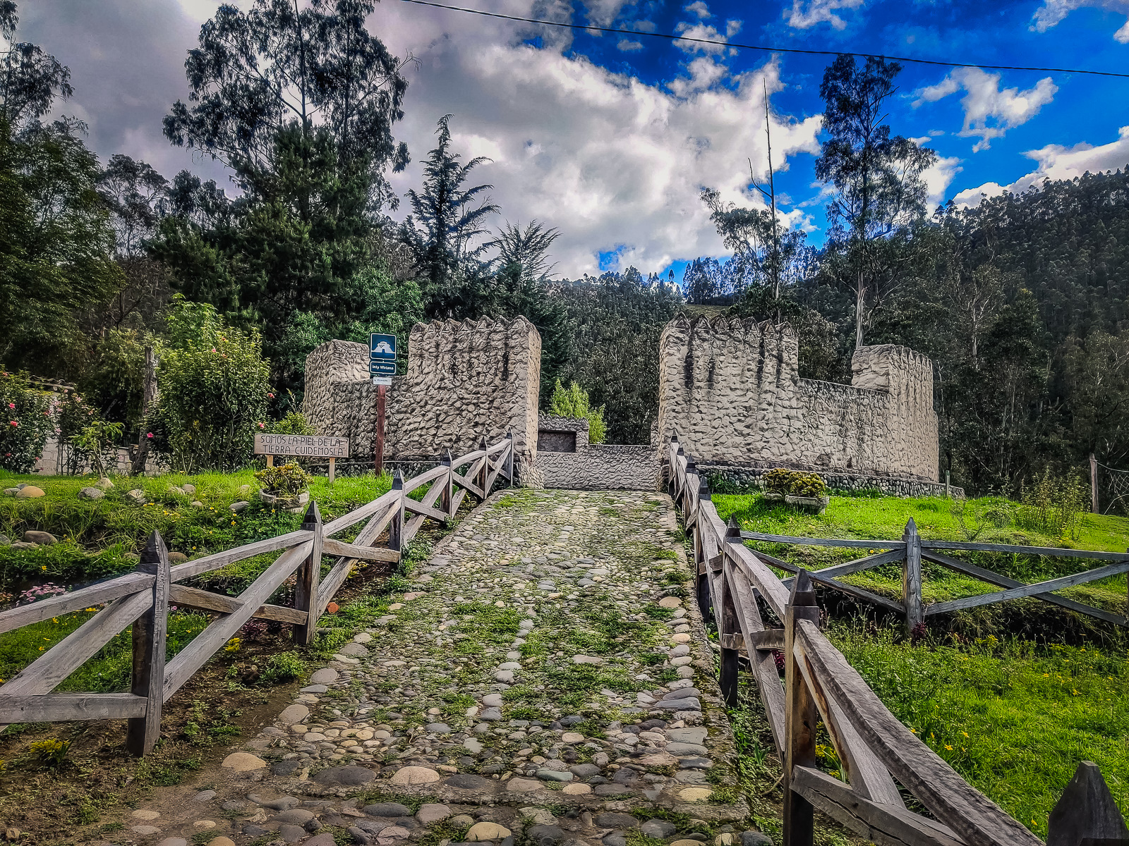
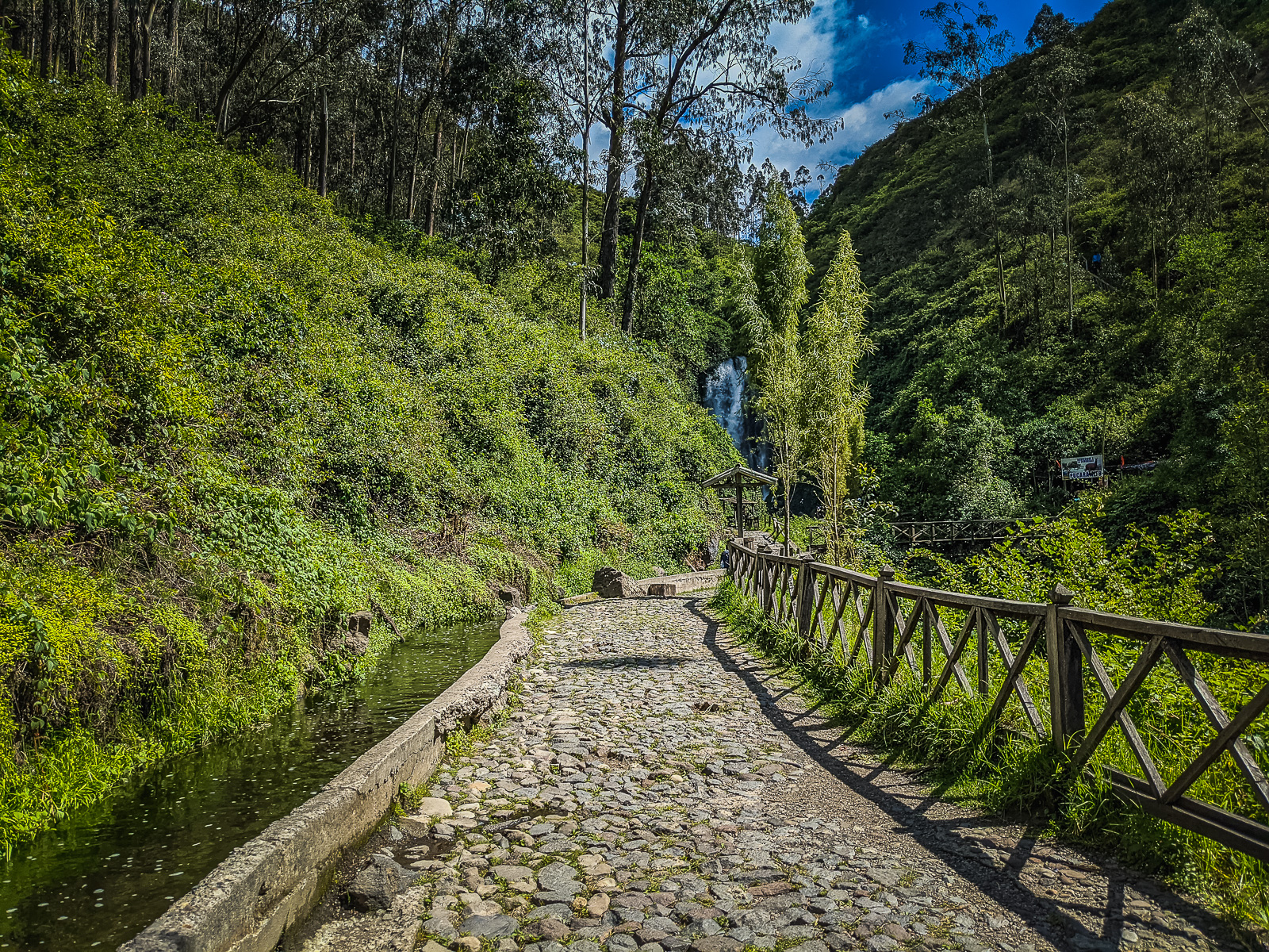
After going for a stroll around the market, you can head to a nearby waterfall at Peguche. It’s only a 10-minute drive from the market and there’s a car park on-site. Public transport is also available and departs from the park. Another option is to hail a taxi from anywhere in town which will cost around 2 USD1 each way. The final option is the 40-minute walk since it’s not too far and also a nice walk through the town. Between the car park and the entrance, there are a couple of shops and stalls selling snacks, drinks, and souvenirs. There is also an Incan solar calendar structure which is accessible for free.
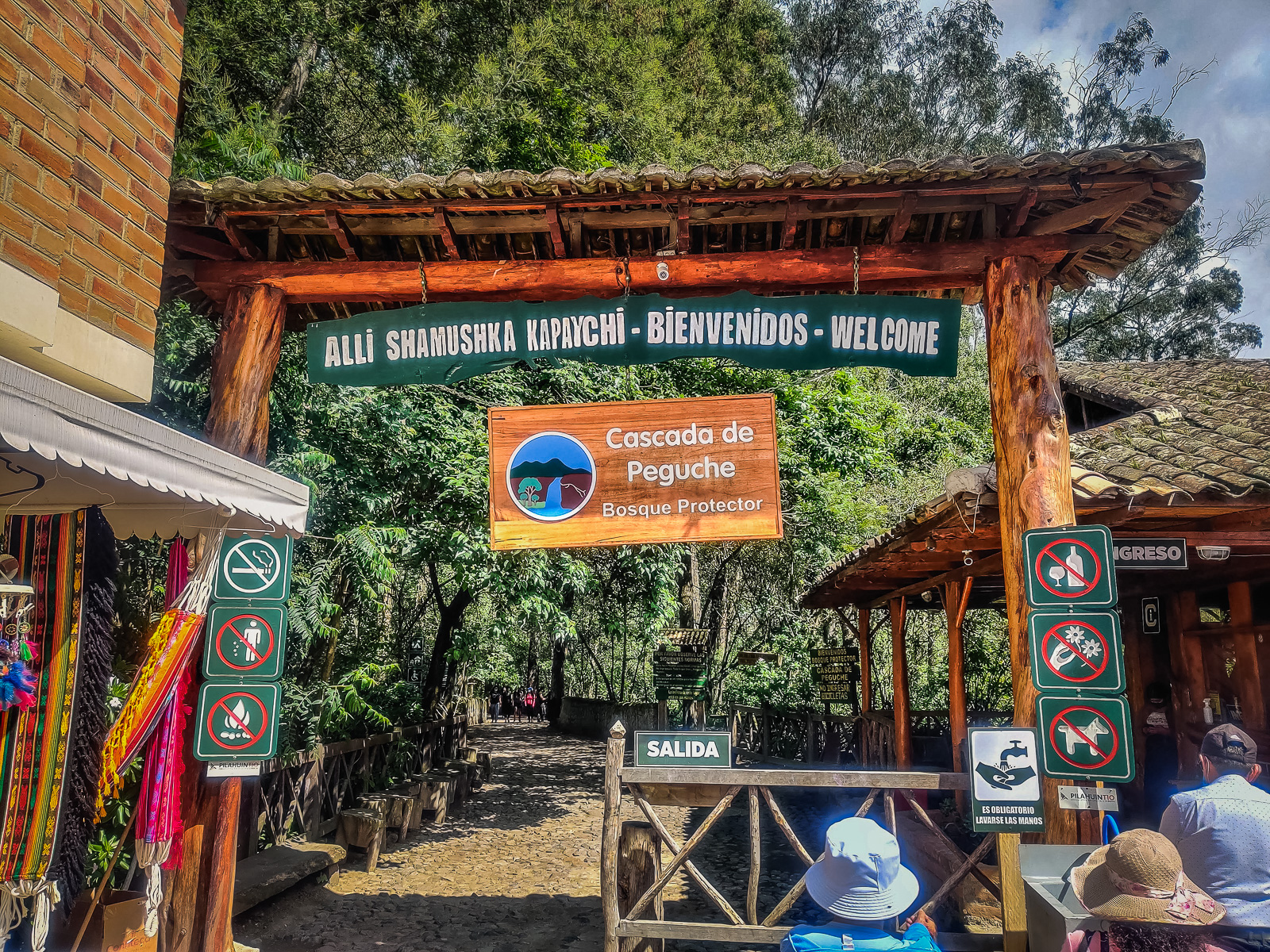
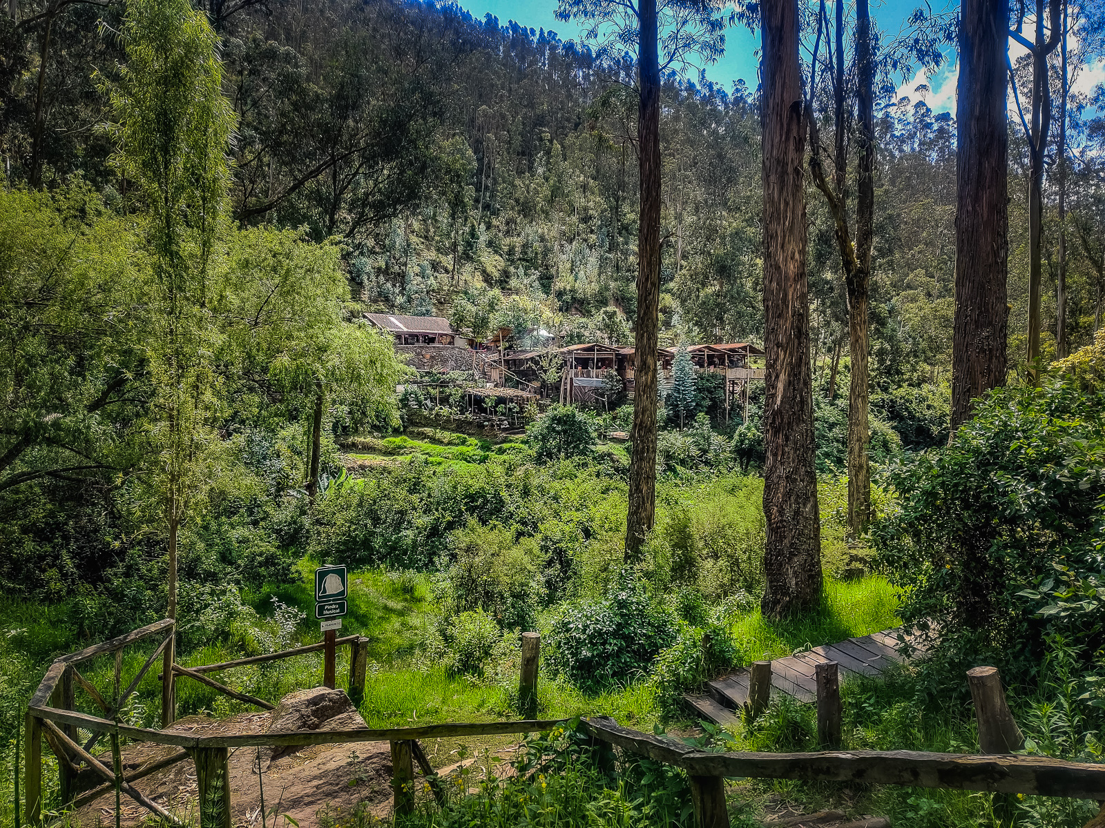
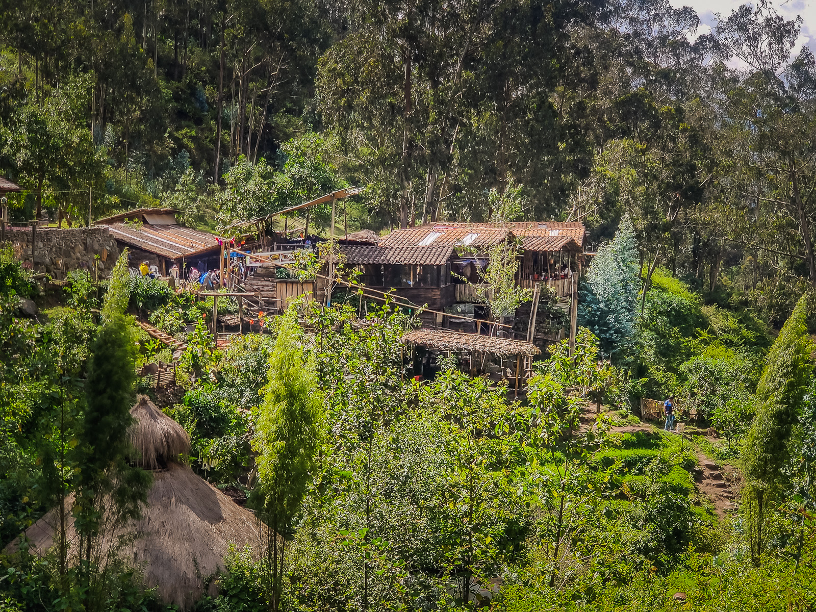
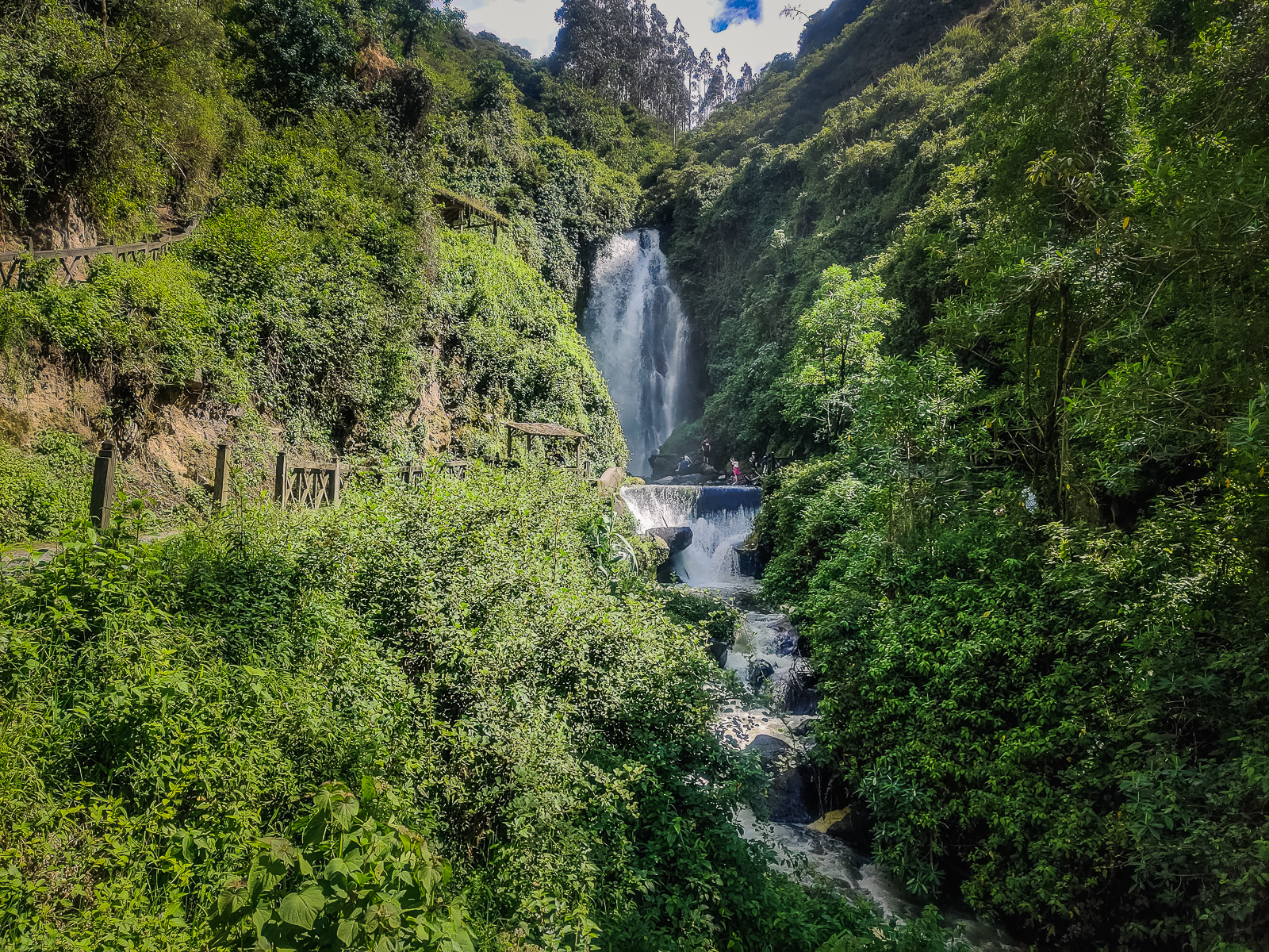
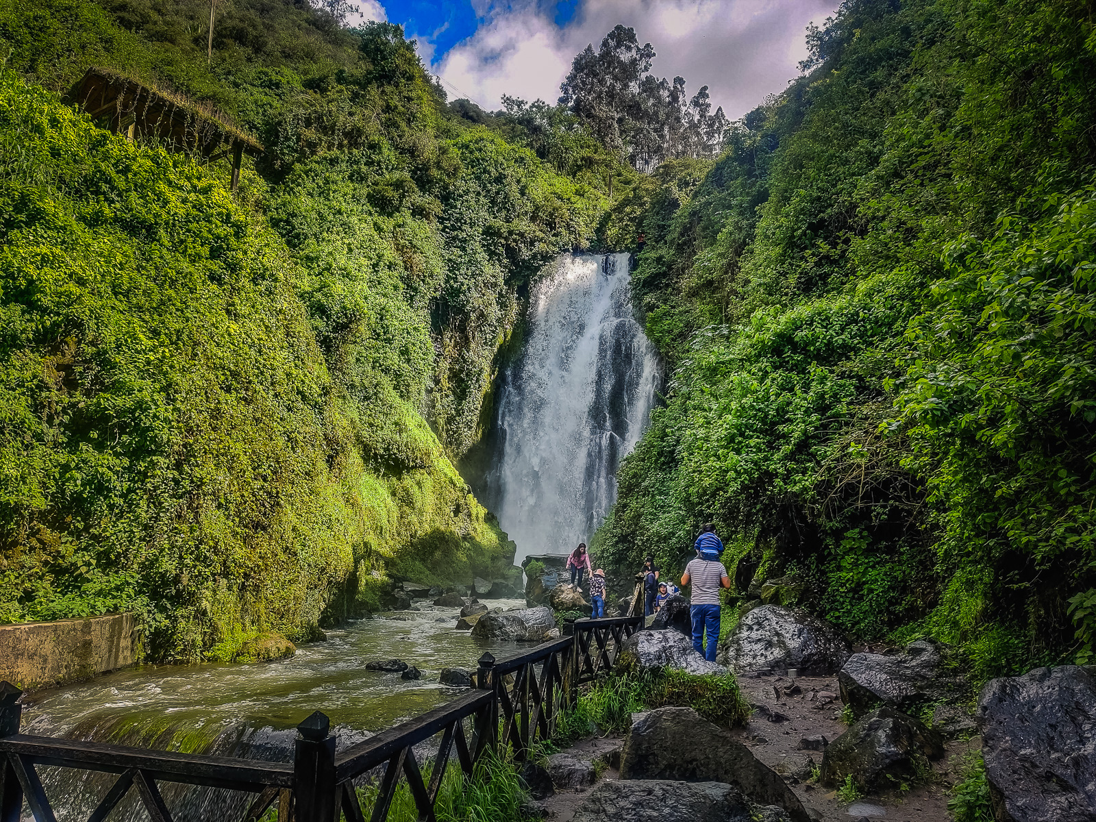
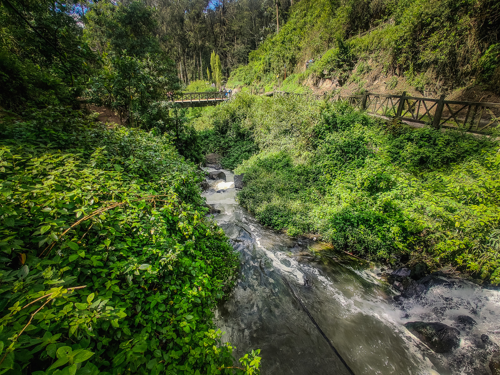
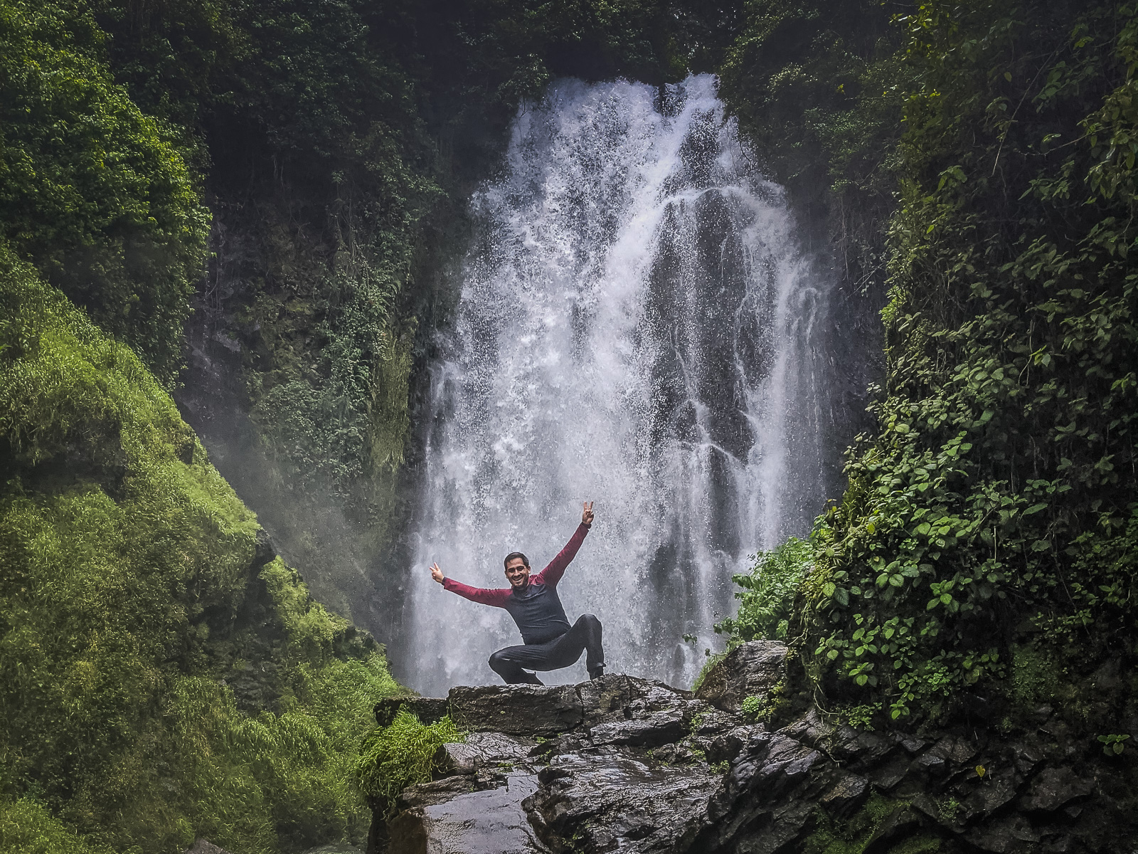
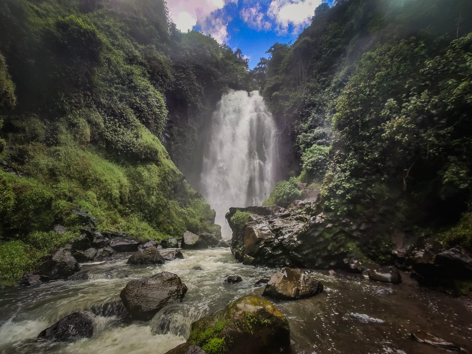
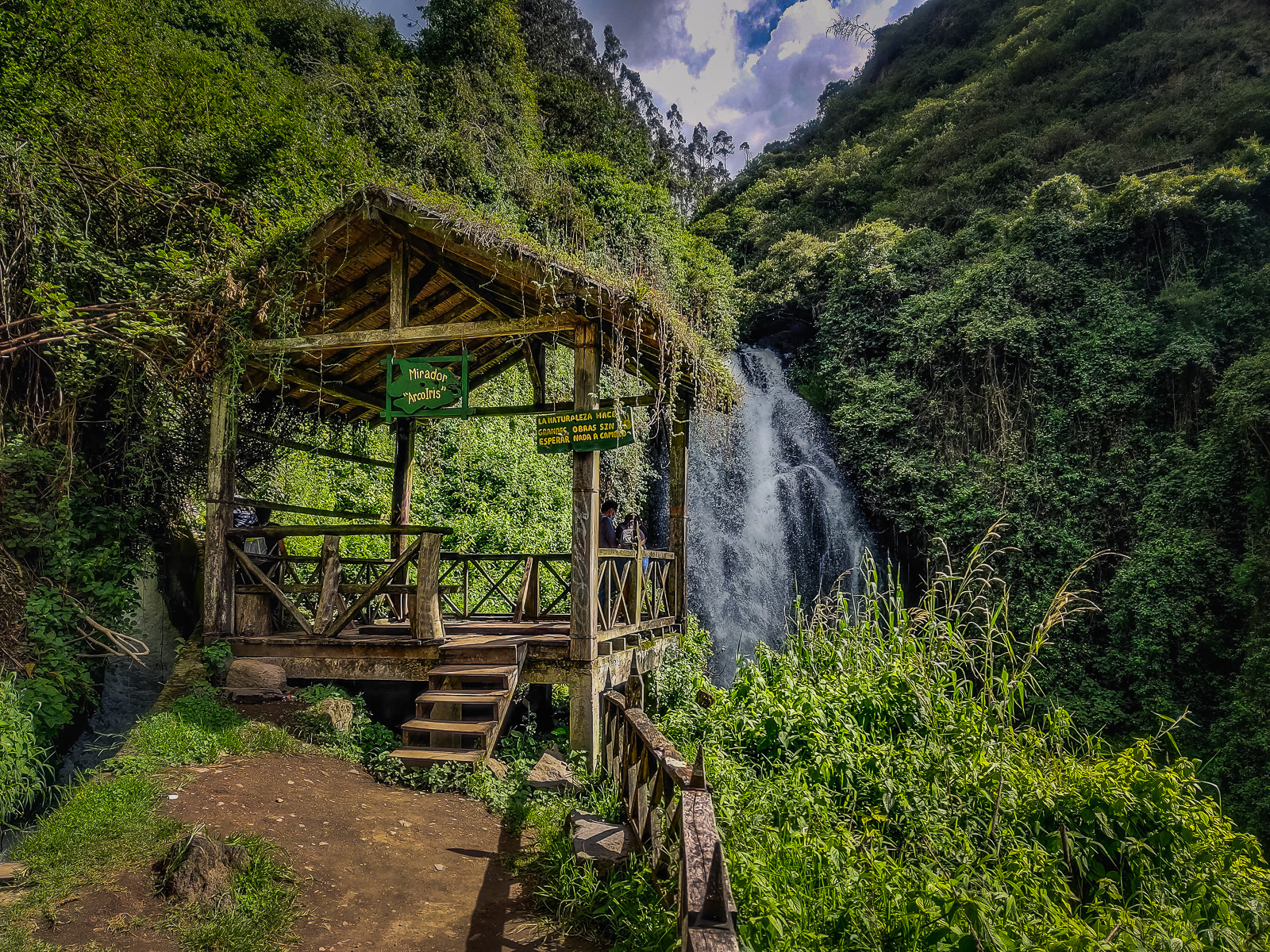
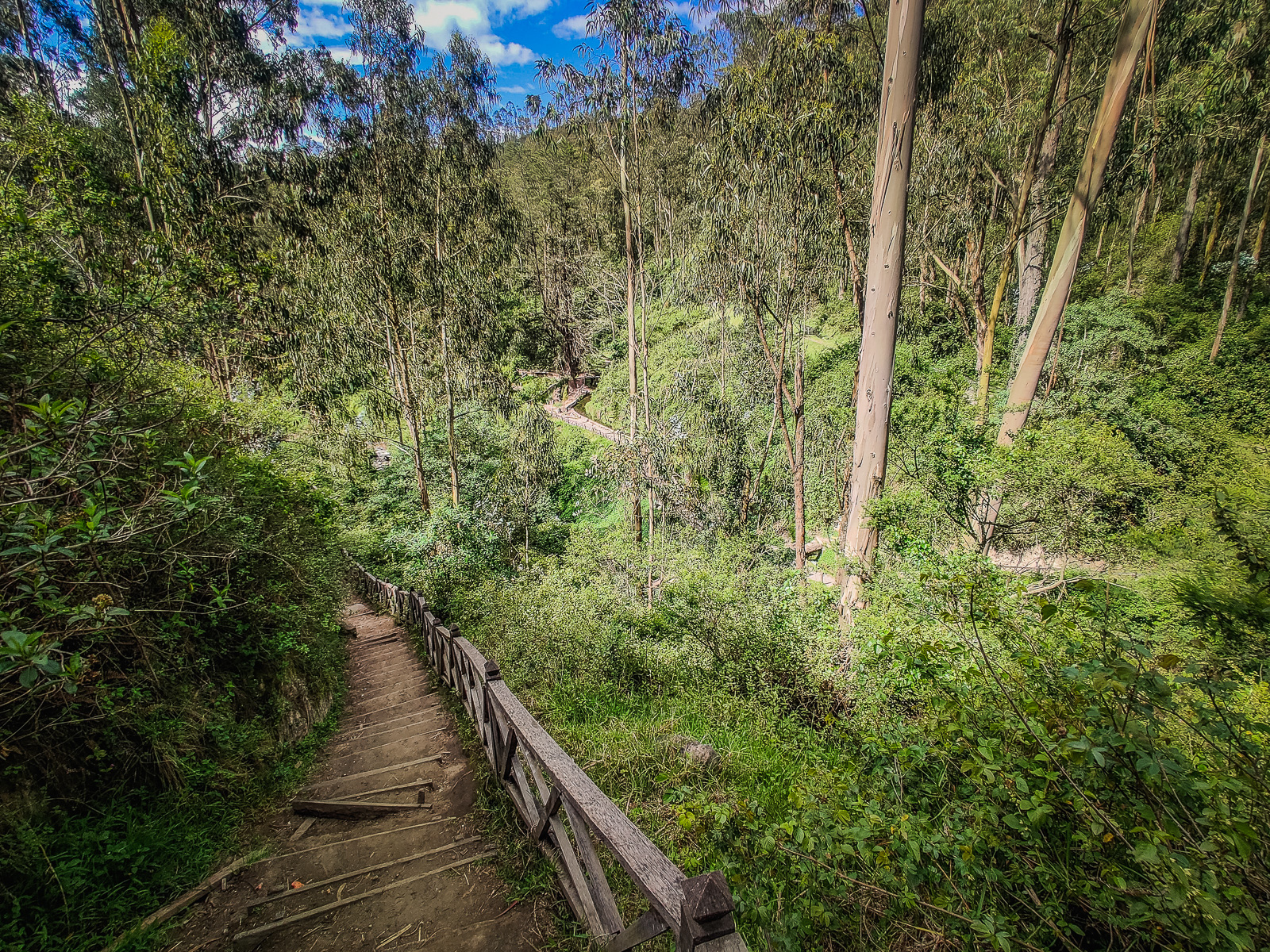
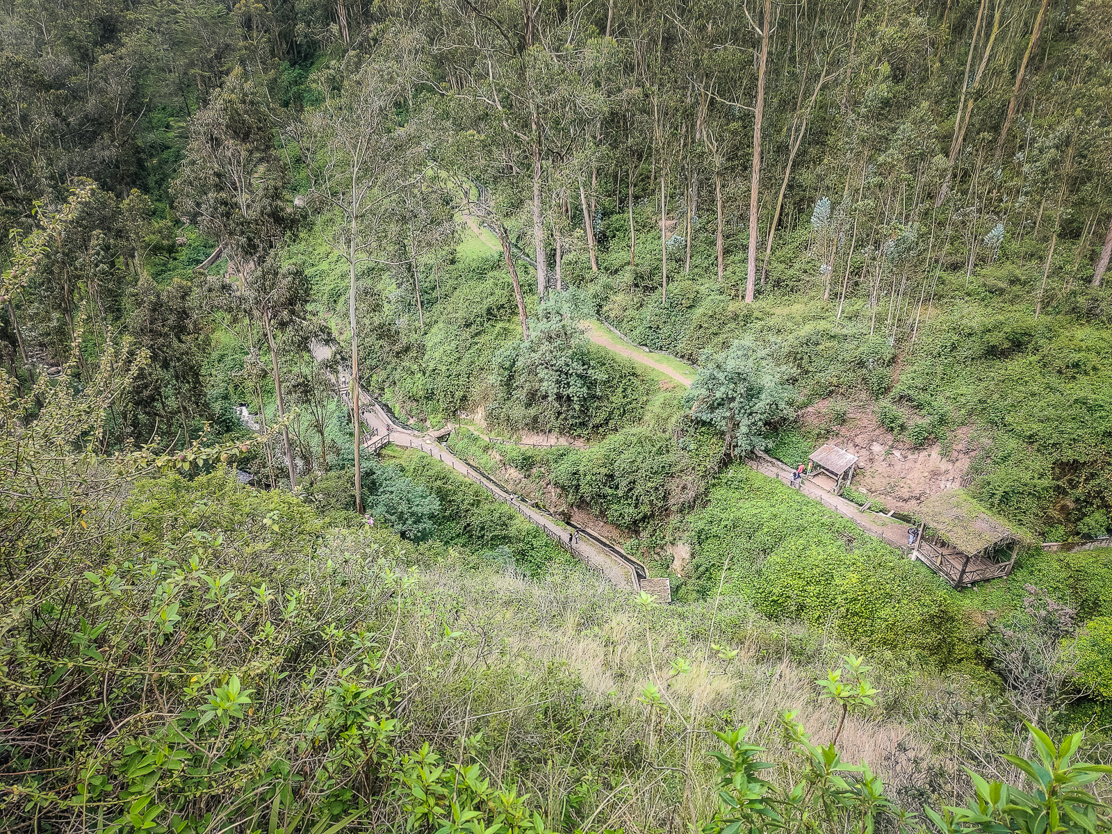
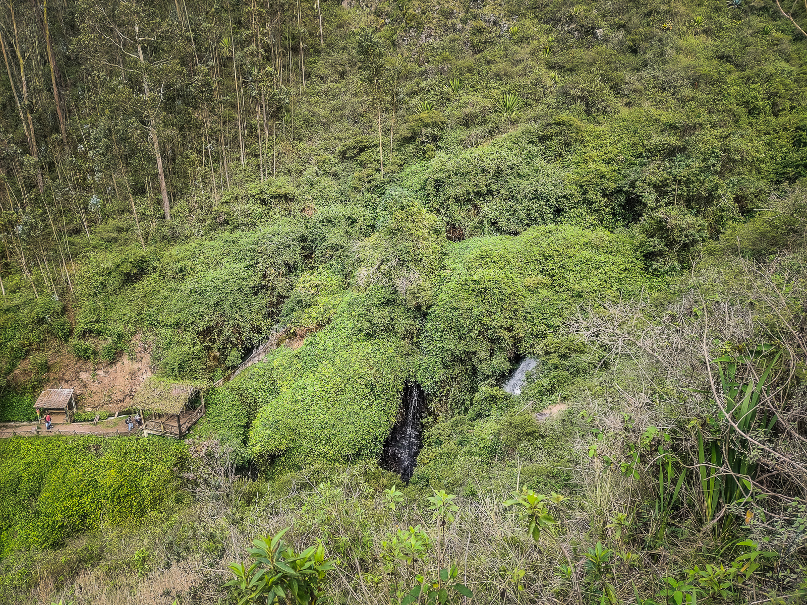
The entry ticket for the waterfall costs only 0.50 USD for access to the trails and spaces along the way. It’s then a short 10-15 minute walk along the trail which is very well maintained. The surrounding area is very green like a rainforest which has lots of different paths. There are toilet facilities and we also passed a camping area. Further down the trail, there was a path that headed toward a natural pool. There were also small bridges that crossed the river to an area with some huts. It looked like these huts were restaurants since they were playing music, but they also looked like lodging. The trail splits at one point, with one path going to the lower part of the waterfall and the other path going up to a viewpoint. We first went to the lower part of the waterfall and crossed a wooden bridge to get there. The waterfall isn’t very high, but the water comes crashing down with enough force to create a gust of mist. You can get very close to the waterfall, but be prepared to get very wet. I managed to climb up on one of the large boulders to get a picture. The water is a little cold, but bearable with the hot weather that we had when we went. We then went back across the bridge and up the other trail to the viewpoint of the waterfall. There is a small hut there that looks out towards the waterfall.
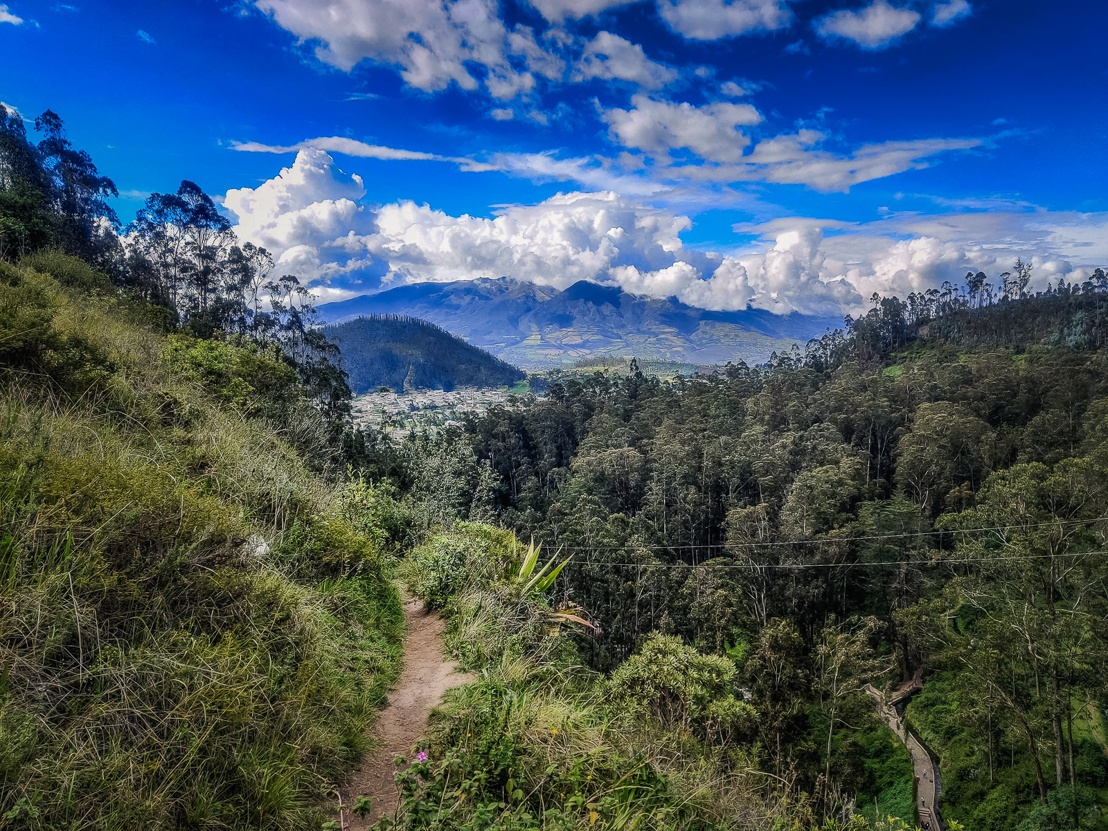
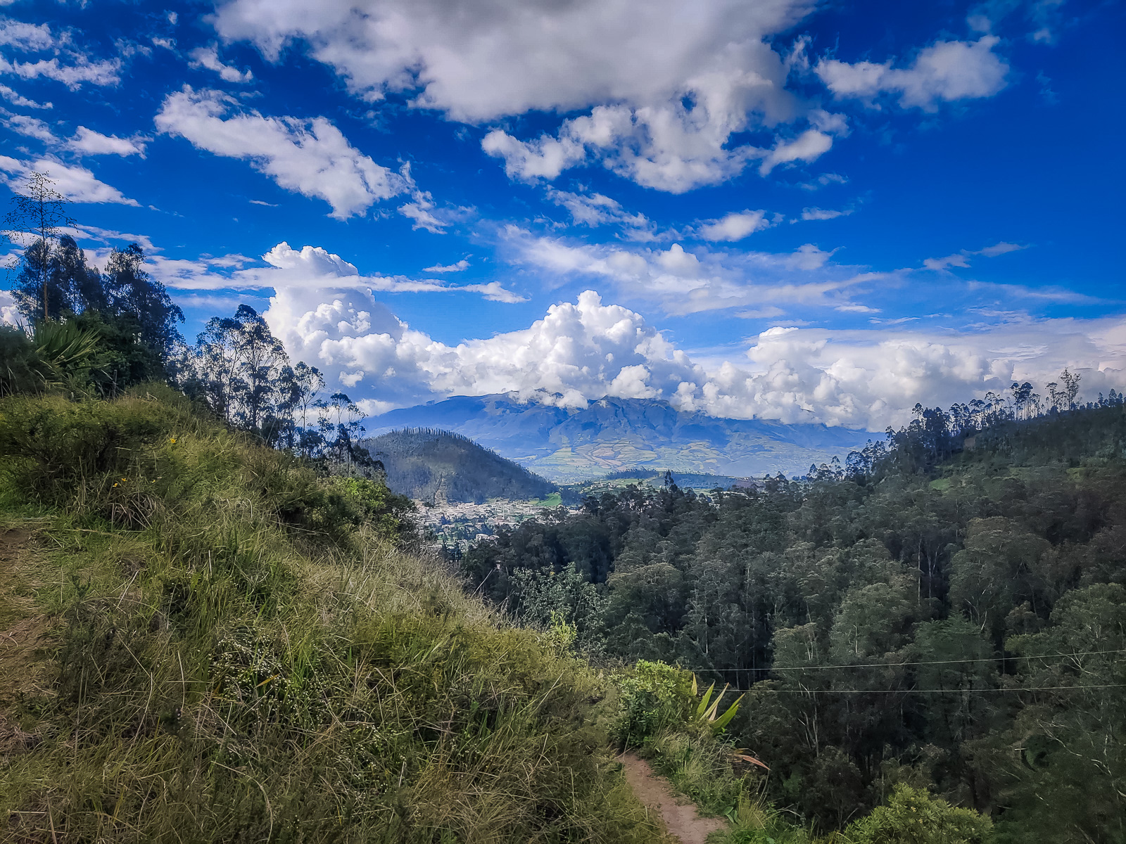
On the way back along the trail, we noticed another path that went up the other side of the hill. We followed the trail up and this one goes higher than the one at the viewpoint. We got to a point where there was a warning sign and continued past it to the top. The trail past this point gets very narrow and can be scary if you’re afraid of heights. This trail goes over the waterfall and you get an amazing view of the town with a mountainous background. We took some rest here before heading back down and back to the car park.

