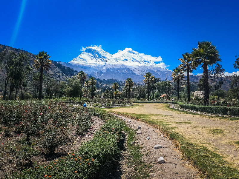
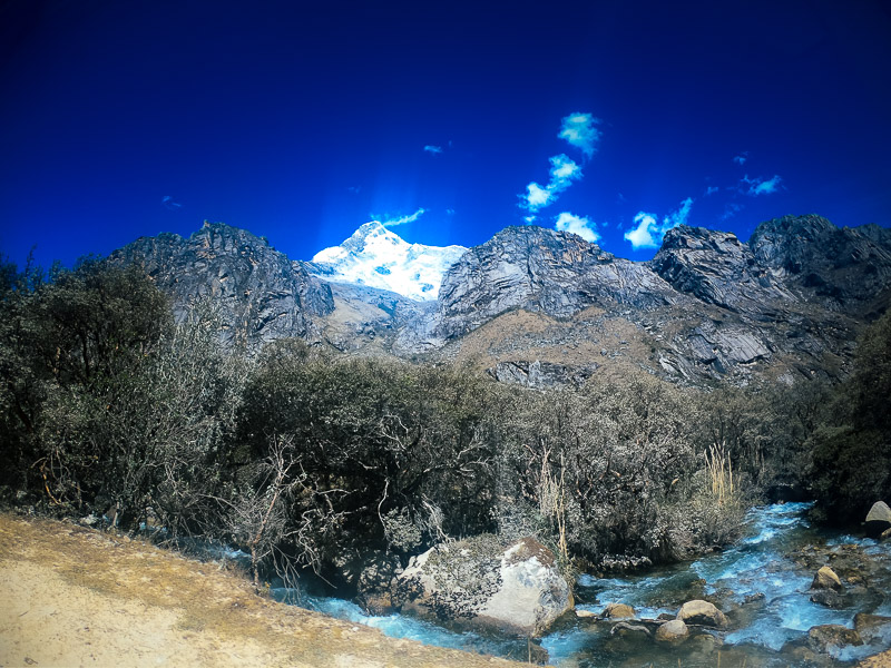
The Huascaran National Park is home to a large part of La Cordillera Blanca (White Mountain Range) with many peaks standing at over 6000 meters above sea level. With over 300 lakes, several glaciers, and hikes for all skill levels; there is so much to explore in this region of Peru. Huaraz is a growing city which lies roughly at the half-way point of the park, making it a great location to start tours from. We came from Trujillo which was a 7-hour overnight bus departing at 10 PM and arriving by 5 AM. There are many tour agencies in Huaraz, mostly concentrated near the Plaza de Armas. However, since we only had 4 days in Huaraz, we pre-booked our tours online through Golden Expeditions to avoid the hassle of looking for tours in the morning. The package we got for 420 PEN1 included 4 tours and 3 hotel nights. I definitely recommend this tour agency; their vehicles are comfortable, the guides are exceptional, and all tours are as described on their website. Upon arriving, they picked us up from the bus terminal at 5 AM and took us to the hotel to check-in. We then had a couple of hours to rest before heading out on our first tour of the Llanganuco Lakes. The meeting point is at their office in the Plaza de Armas, a short 5-minute walk from Hotel Valencia II where we stayed. After paying for the tour package, we boarded the minibus and headed out at around 9 AM. The first stop was one hour into the drive at a viewpoint of the Cordillera Blanca. Fortunately, it was a clear day so we had a good view of the mountain range.
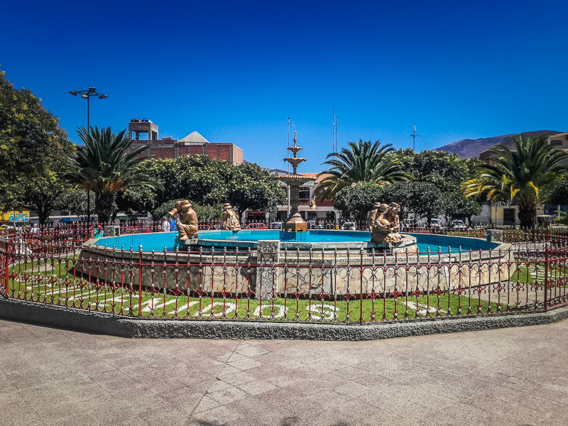
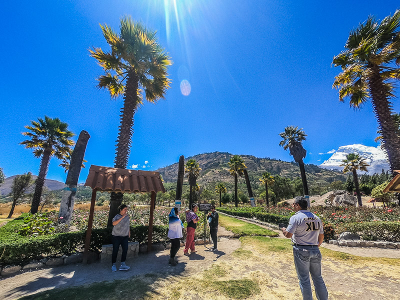
Another 30-minutes on the road and we reached our next stop; Carhuaz. This small town is famed for its traditional ice cream which the guide recommended we try. There are several ice cream shops on the main plaza and several benches around to enjoy your ice cream. The plaza is beautiful and decorated with palm trees. Try to find a spot with shade as the sun starts to pick up.
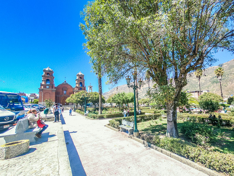
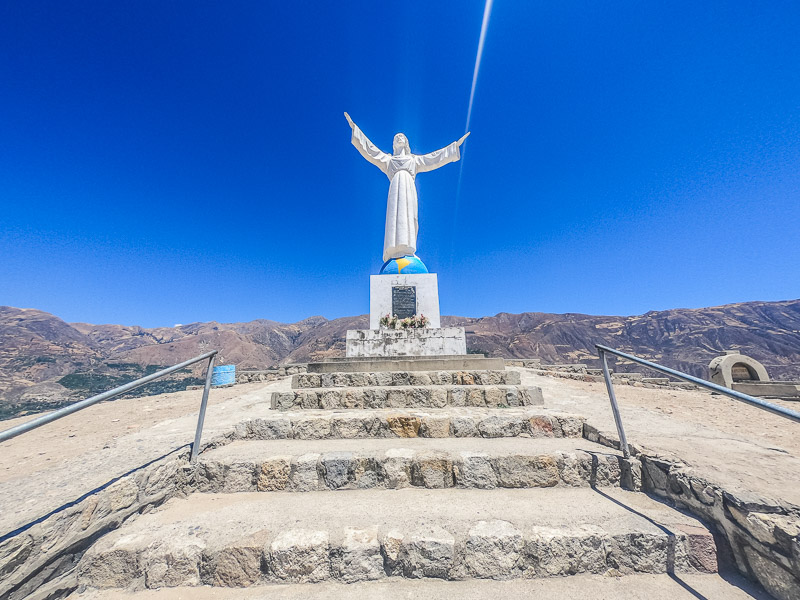
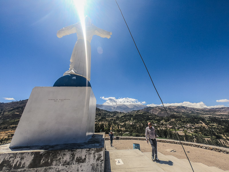
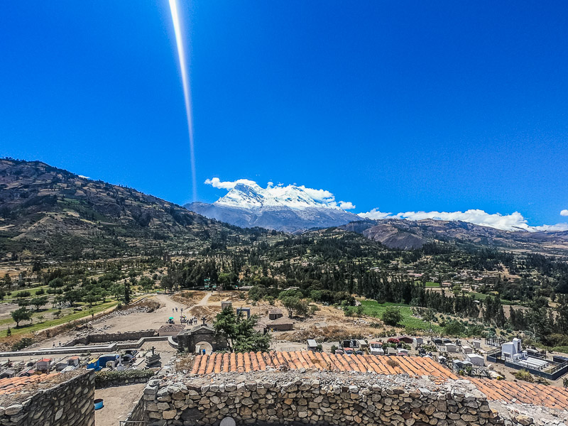
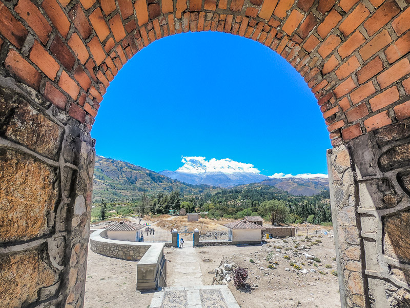
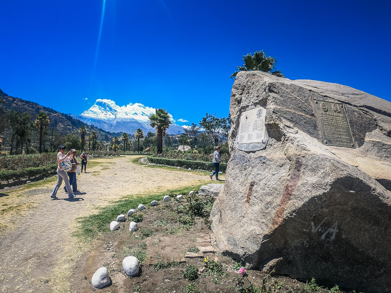
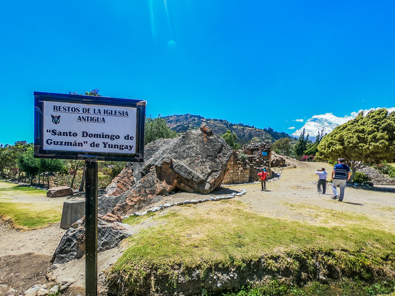
We were given about 30 minutes to wander around before getting back on the minibus and onto the next stop; Yungay Campo Santo. This is a sacred ground of a town that is now buried 8 to 12 meters below ground due to a landslide on May 31st, 1970. The infamous earthquake caused an avalanche on the towering beast of Huascaran. The avalanche picked up large rocks and debris heading to the town at over 200 km/h. Most of the locals would have been watching the opening game of the 1970 World Cup when they felt the earthquake. Yungay was 18 km from Huascaran but the landslide would reach them in less than 5 minutes. The disaster was catastrophic with an estimated death toll of 20,000 people. The few survivors were those who made it to the cemetery which stands on a hill overlooking the town. This cemetery along with four palm trees (although only one lives today) was all that survived the landslide. The four palm trees stood outside the church on the Plaza de Armas. The church took most of the impact effectively shielding the palm trees. Sadly, it is believed that many people would have sought refuge in the church since it was the most stable structure in the town.
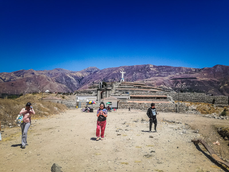
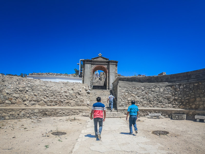
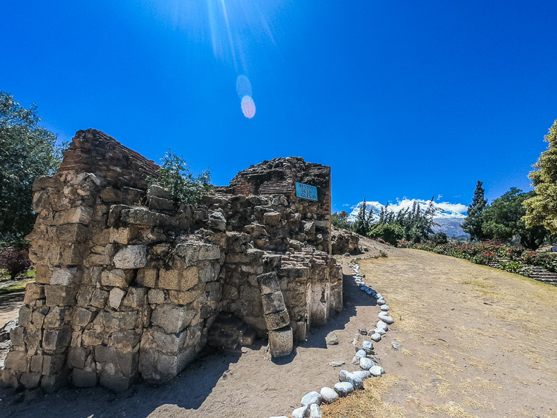
We arrive at one of the large rocks brought down by the landslide which gives you an idea of the force required to bring it there. It is here where a local tells the story of how there were hundreds of orphaned kids as a result of the tragedy. On that same day, there was a circus in the town’s stadium which was close to the hill. Hundreds of kids were there and they were evacuated up the hill following the earthquake and therefore survived. Most of the younger kids were adopted by foreigners and now live out of the country, although they do return regularly to pay their respects. The older kids stayed and built the New Yungay close by. It is one of these survivors who tells the story and sells pictures of the old Yungay. He also sells video footage taken by an American tourist who captured the whole event on camera as he was visiting the cemetery. Following the earthquake, many of the roads were damaged so it took several days before help could arrive. They built a small airport nearby to be able to send resources although it’s not used today. Since it took so long for help to arrive, the chance of finding survivors was non-existent and remains would be unidentifiable. Therefore officials chose not to dig up the ground to recover the remains and instead declared it a sacred ground to respect their resting place. As you walk around, there are many gardens and flowers laid by former residents of the location where they believe their house would have been. Some objects have also emerged from the ground over time and the remains of the church can also be seen.
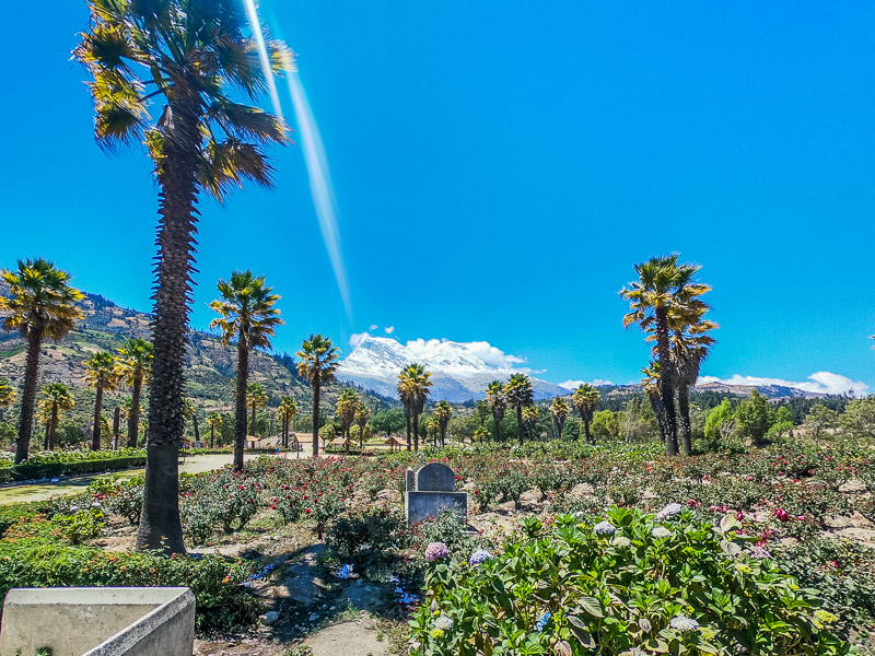
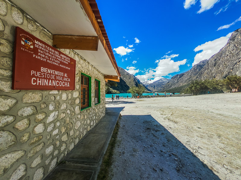
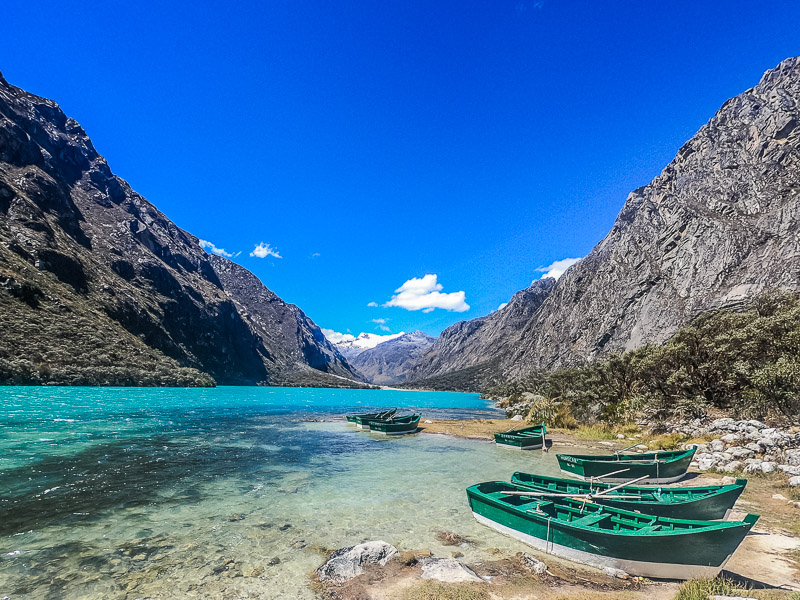
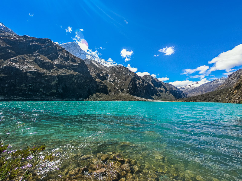
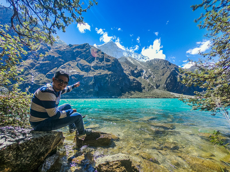
Next, we continue on a bumpy ride on gravel terrain for about an hour arriving at the rest stop of Chinancocha at around 1.30 PM. This is the smaller of the two Llanganuco Lakes. There is an information center, boat rentals, and locals selling food/snacks. The turquoise color of the lake with the mountain landscape is mesmerizing. The Llanganuco Lakes are located between the snow-topped mountains of Huascaran and Huandoy. There is a legend that the god Inti (sun) had a daughter Huandoy who was destined to marry another god. However, she fell in love with a mortal prince, Huascaran. Inti found out and forbade their relationship but they refused. Infuriated but this, Inti turned them both into mountains and raised them high up so they could see each other but not touch each other. The lovers’ tears trickled down the mountain and eventually filled up what are the Llanganuco lakes.
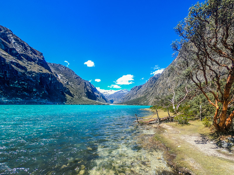
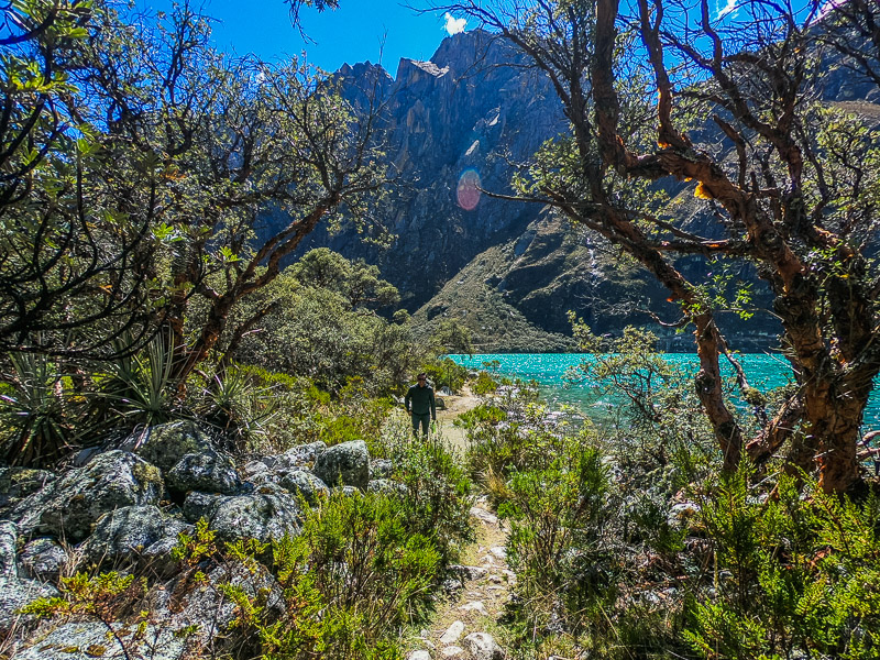
There is a trail which goes along the lake that takes you to a picnic area after a short 10-15 minute walk. There is also a small pier which goes out into the lake which although very windy, makes for a great photo spot. The trail continues further down for another 15-20 minutes until you reach the mountain wall. The trail becomes a bit trickier here requiring you to climb and crouch a little. But once you get to the end, you’ll get a great view of the lake with the snow-topped mountain of Huandoy in the background. We were given about an hour to roam around before heading back down to Yungay where we’d stop at a tourist restaurant. On the way back, the tour makes a stop at a pottery shop. The owner gives a demonstration and there’s a chance to buy some souvenirs. This is the final stop before heading back to Huaraz arriving around 7 PM.