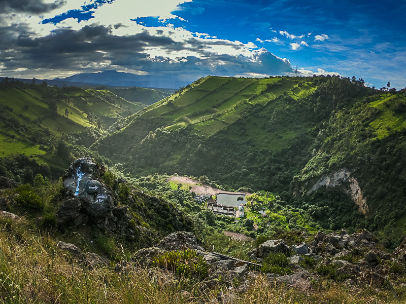
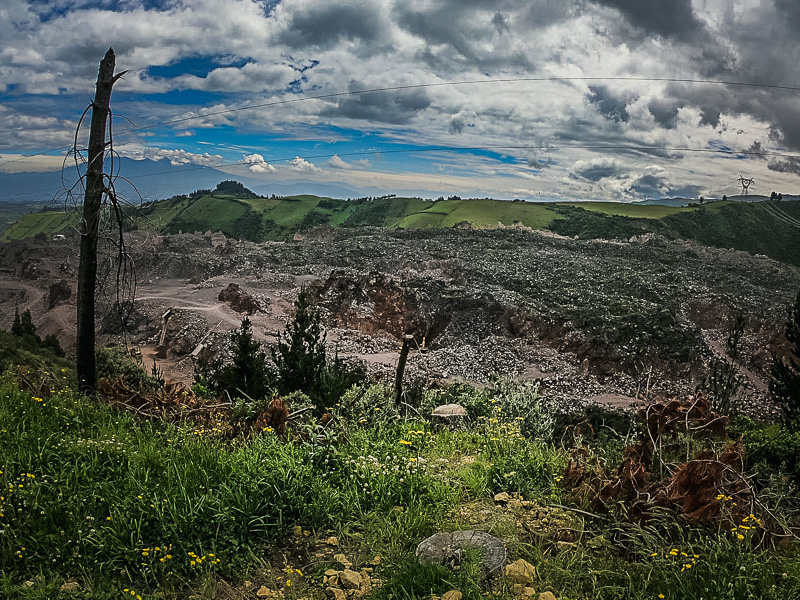
Towering over the clouds at just over 5700 meters above sea level, Volcan Antisana is Ecuador’s 4th highest Volcano. It can be found in a beautiful and diverse national ecological reserve which is also home to Laguna La Mica. Geographically, it is close to the capital city of Quito and easily accessible by car. Google maps do not have the updated roads but the national ecological reserve can be accessed via the small town of Pintag. It is a scenic route which goes past a stretch of volcanic lava rock from a prehistoric eruption that is currently being quarried. Getting there by public transport is more challenging. You can take buses up until Pintag but then you would need to get private transportation that goes to the ecological reserve or book a tour. It is possible to climb Volcan Antisana but it is for highly experienced climbers and requires adequate climbing equipment for ice and snow. I believe that it is also necessary to get a permit from the officials in Pintag, so it is definitely a serious challenge to attempt.
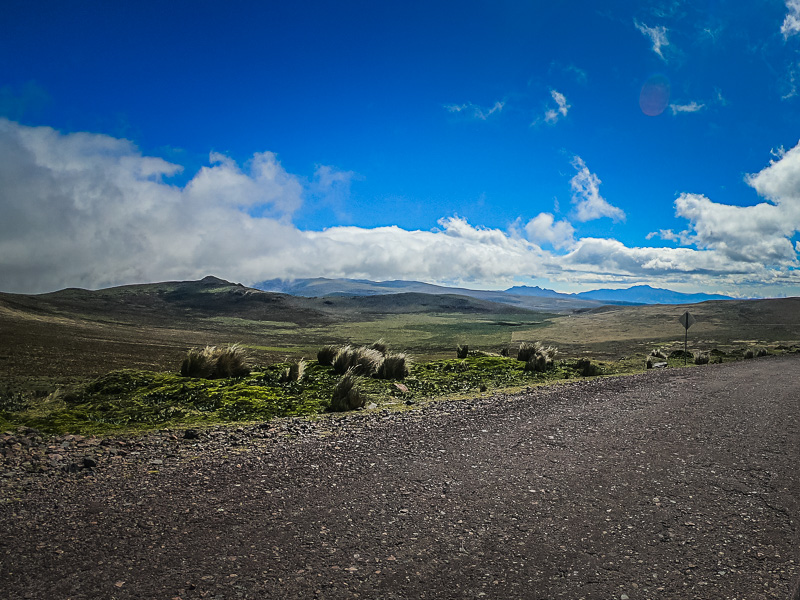
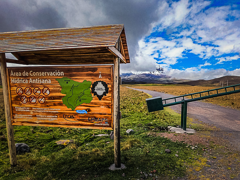
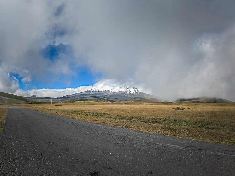
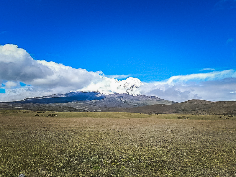
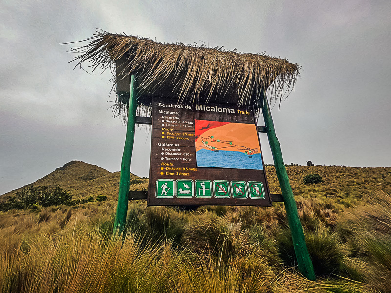
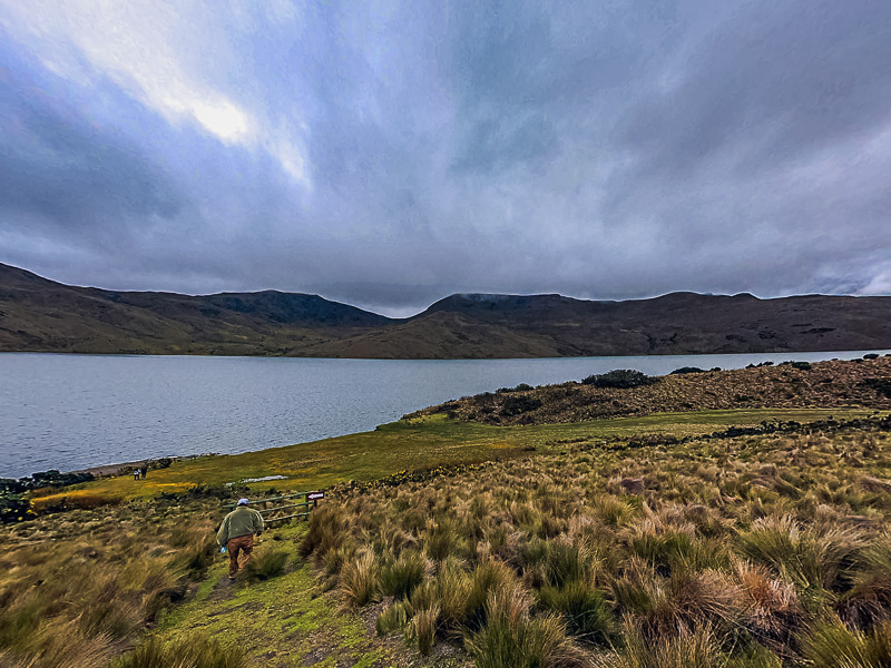
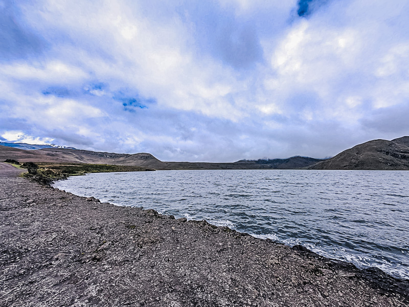
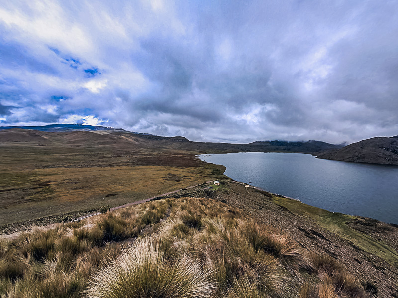
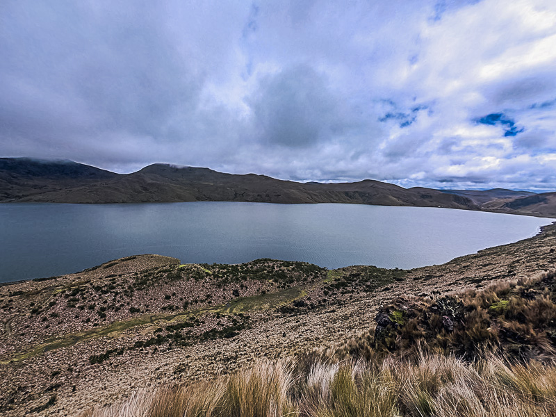
Entry to the ecological reserve itself is free and the guard simply takes your ID details to sign you in. The ecological reserve opens at 9 AM and closes at 4 PM. I’d recommend getting there as soon as it opens since that’s when the skies are clearest for the best pictures of the volcano. Also, bring warm clothing as it gets very windy and cold due to being higher up than the capital. The lowest point is approximately 3100 meters and gets close to 4000 meters if you go on the trails around the lake. To get to Laguna La Mica, there is another checkpoint where the guard takes your ID details to sign you in. You have to leave the car at the parking lot at this entrance unless you have a senior with you. Laguna La Mica is a big C-shaped lake and the trails have great viewpoints of both the lake and Volcan Antisana. The short trails are 45 minutes long and take you halfway to get a view of the whole lake. The long trail is a 3 hours circuit which takes you to the other end of the lake. This terrain is great for acclimatizing if you plan to climb a mountain. However, do bring water and snacks as walking in high altitude is very exhausting